

Vallunaraju, SW Route is part 1 of 4, in Cordillera Blanca 2019, Redemption
Technical climbing info
- Mountain: Vallunaraju
- Elevation: 5,686m
- Route: SW (Normal) Route
- Length: 1,000m
- Grade: PD+
Schedule
- Day 1: Ride to the Casa de Guias hut close to the base of Vallunaraju. Spend the afternoon and evening.
- Day 2: Alpine start, begin climbing at 1am. Arrive back to the hut at 2pm. Back down to Huaraz.

Vallunaraju has been a climb that I have been wanting to climb since the first day I arrived to Huaraz back in 2017. Towering over the city, the peak is dramatically obvious with it’s two “horns”. Although by the standards of the Cordillera Blanca it is neither very high nor very difficult, it had been calling me.
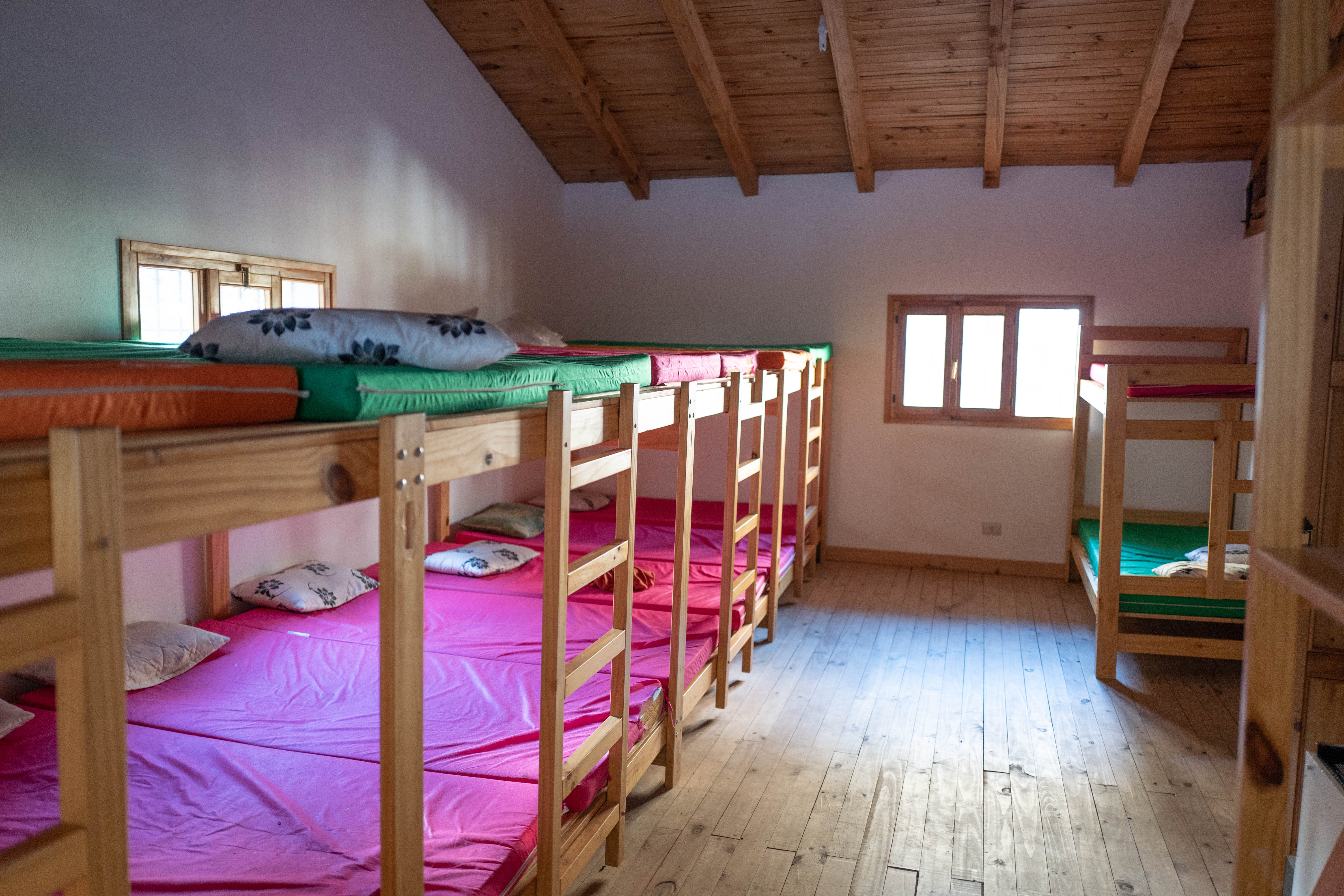
Somehow Jenn from Skyline managed to hustle us staying in the Casa de Guias hut for the evening. We had to pay $200, but it sure beat camping in the cold, especially for our first night at high elevation. We had enough of that in the near future so we didn’t feel much need to add an extra night outside.
Supposedly, the Casa de Guias hut will be opened for public use next year (2020). They have been saying this for a while though.
We settled down in the brightly lit yet abandoned hut, having 60 or so bunks to choose from. Jess and I grabbed a “private” room of 8 bunks while Nacho grabbed the adjacent room of another 8. We settled in and had a bite to eat in the abandoned kitchen. The cook must have been excited to have some business because he prepared us each a tiny mountain of pasta accompanied by a flank streak. Not having seen Nacho since last year we caught up before heading to our rooms to collapse into our food comas.
11pm, I woke up to my head pounding. I drank most of what I have in my water bottle and use the rest to wash down a Diamox and Aspirin. Just 3 days ago we were at sea level, so how surprised could I be.
People say that I must acclimatize well. That I am lucky. Hell, the name of this website is ‘Get high on altitude”. However, the opposite is actually the truth. I have merely found my ways to cope with the altitude. I spend the next hour laying still and breathing deeply, waiting for our alarms to go off.
Eventually, our alarms went off and we rolled down to the kitchen. Unlike other Andean huts I’ve been in the past where climbers have to fend off the scavengers from their tables, it was just us. We had our classic/horrible Peruvian hut breakfast of coffee and bread. Realizing that it was a lot warmer than expected, I stripped a couple layers.
We stepped out of the hut and began walking down the road. Hiding in the bush on the side of the road was a mini-staircase that marked the beginning of the trail. I would have never found that on my own, thank god. We began making our way up the granite slabs indicated in the guide book. I believe that the AD grade given to this climb isn’t actually because the “climb” itself, but because the approach over these slaps. We gingerly made our way in our clunky mountain boots, following obscure painted indicators. Maybe these were Incan artifacts..? Probably not, I don’t think they used modern letters and numbers…
Eventually we made our way past the moraine camp and bounced our way through the big granite blocks guarding the glacier. There was a lone team ahead of us strapping on their crampons. They didn’t speak English so the conversation was minimal. I think that the one gentleman was leading his sister up the peak. I later saw that he drew a bunch of penis-happy-faces drawn in the snow, so I don’t really know what to think. Kind of weird to do with your sister behind you.

The climb was reasonably straightforward, yet significantly different from what was pictured in the Brad Johnson guidebook. We marched up the glazed over bootpack. It had been snowing for the last couple weeks before we arrived but had cleared up nicely- I guess we brought in the good weather from Seattle. Has anybody eversaid that?
Eventually we broke off the path, getting onto some steeper looser terrain. The goal was to doge a small but significant rock and icefall zone on the main route. We weaved and broken glacier for a few minutes through the loose snow, yet not a single curse word was muttered.
Eventually we merged back with the route. I peaked at my watch; we were around 5300m. Our originally strong pace had begun to slow. Sea level was 4 days ago now, so the slowing pace was expected.

At what felt like a snail’s pace, the summit moved closer and closer into view and the sun began to shine on the range. Wow, I almost forgot how beautiful this place was. We came to the final summit ridge; I had expected it to be a lot steeper than what I was looking at. I had read reports of people using two tools and belaying their way up, to each their own. It was beautiful though, we continued up slowly.
Making it up to the summit, we threw on our layers and basked in the glory of the sunlit range around us. Our first summit of the trip was completed.
We made our way down, slowly yet surely over the granite slabs down low. Those were really the crux of the climb, well those and the rapid altitude gain. We hopped in the car waiting for us and zipped off to Huaraz. Jessica fell asleep on my shoulder as I stared down the epic cliffs below the road. It occurred to me, “has a car ever fallen off this?”

Up next, Huarapasca via the South Route

Continue to Huarapasca via the South Route, part 2 of 4 in Cordillera Blanca 2019, Redemption
“Huarapasca is a hidden gem of the Cordillera Blanca. Not appearing in any guide books and out of sight from pretty much anywhere, this amazing climb sits relatively untouched. It is also one of the very few single day climbs in the range that can be done car-to-car.” [read full, Huarapasca via the South Route]